Difference between revisions of "Category:Maps and missions"
m (→Air Forces Maps) |
(→Air Forces Maps: Added some maps, more to come) |
||
| Line 74: | Line 74: | ||
File:MapIcon_Air_CliffedCoast.jpg|link= | File:MapIcon_Air_CliffedCoast.jpg|link= | ||
File:MapIcon_Air_Crater.jpg|link= | File:MapIcon_Air_Crater.jpg|link= | ||
| + | File:MapIcon_Air_Denmark.jpg|link= | ||
File:MapIcon_Air_Fjords.jpg|link= | File:MapIcon_Air_Fjords.jpg|link= | ||
File:MapIcon_Air_Foothills.jpg|link= | File:MapIcon_Air_Foothills.jpg|link= | ||
| Line 93: | Line 94: | ||
<center> | <center> | ||
<gallery mode="nolines" widths="200px" heights="200px" style="pointer-events: none"> | <gallery mode="nolines" widths="200px" heights="200px" style="pointer-events: none"> | ||
| + | File:MapIcon_Air_Afghanistan.jpg|link= | ||
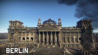
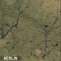
File:MapIcon_Air_Berlin.jpg|link=Berlin (Air Forces) | File:MapIcon_Air_Berlin.jpg|link=Berlin (Air Forces) | ||
File:MapIcon_Air_Britain.jpg|link=Britain | File:MapIcon_Air_Britain.jpg|link=Britain | ||
| Line 118: | Line 120: | ||
File:MapIcon_Air_Saipan.jpg|link= | File:MapIcon_Air_Saipan.jpg|link= | ||
File:MapIcon_Air_Sicily.jpg|link= | File:MapIcon_Air_Sicily.jpg|link= | ||
| + | File:MapIcon_Air_Smolensk.jpg|link= | ||
File:MapIcon_Air_Spain.jpg|link= | File:MapIcon_Air_Spain.jpg|link= | ||
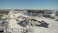
File:MapIcon_Air_Stalingrad.jpg|link= | File:MapIcon_Air_Stalingrad.jpg|link= | ||
File:MapIcon_Air_StalingradWinter.jpg|link= | File:MapIcon_Air_StalingradWinter.jpg|link= | ||
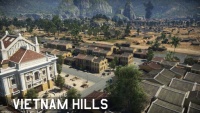
| + | File:MapIcon Air Vietnam.jpg|link= | ||
File:MapIcon_Air_WakeIsland.jpg|link= | File:MapIcon_Air_WakeIsland.jpg|link= | ||
File:MapIcon_Air_Zhengzhou.jpg|link= | File:MapIcon_Air_Zhengzhou.jpg|link= | ||
| Line 141: | Line 145: | ||
<gallery mode="nolines" widths="200px" heights="200px"> | <gallery mode="nolines" widths="200px" heights="200px"> | ||
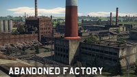
File:MapIcon Air AbandonedFactory.jpg|link=Abandoned Factory (Ground Forces) | File:MapIcon Air AbandonedFactory.jpg|link=Abandoned Factory (Ground Forces) | ||
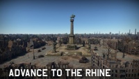
| + | File:MapIcon Air AdvancetotheRhine.jpg|link=Advance_to_the_Rhine | ||
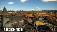
File:MapIcon Air Ardennes.jpg|link=Ardennes (Ground Forces) | File:MapIcon Air Ardennes.jpg|link=Ardennes (Ground Forces) | ||
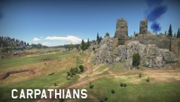
File:MapIcon Air Carpathians.jpg|link=Carpathians (Ground Forces) | File:MapIcon Air Carpathians.jpg|link=Carpathians (Ground Forces) | ||
| Line 158: | Line 163: | ||
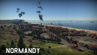
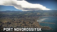
File:MapIcon Air PortNovorossiysk.jpg|link=Port Novorossiysk | File:MapIcon Air PortNovorossiysk.jpg|link=Port Novorossiysk | ||
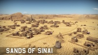
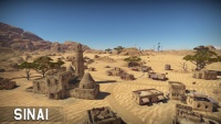
File:MapIcon Air Sinai.jpg|link=Sinai | File:MapIcon Air Sinai.jpg|link=Sinai | ||
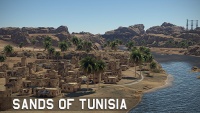
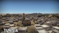
| + | File:MapIcon Air Tunisia.jpg|link=Tunisia | ||
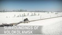
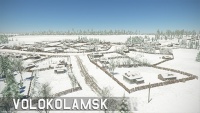
File:MapIcon Air Volokolamsk.jpg|link=Volokolamsk | File:MapIcon Air Volokolamsk.jpg|link=Volokolamsk | ||
</gallery> | </gallery> | ||
Revision as of 11:51, 21 April 2020

Contents
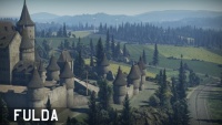
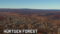
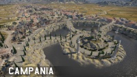
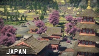
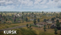
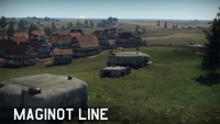
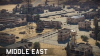
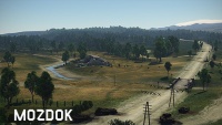
Ground Forces Maps
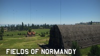
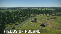
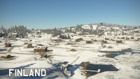
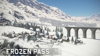
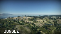
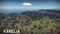
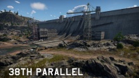
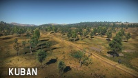
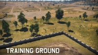
General Ground Forces Maps
Special Ground Forces Maps
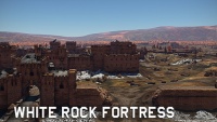
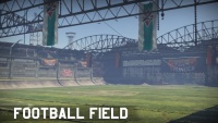
These maps are do not occur in normal ground battles. They are only normally available to play in specific game modes / special events, tutorials, or in user made missions.
Air Forces Maps
Arcade Only Air Maps
These maps are (under normal circumstances) only available in Air Arcade Battles. They tend to be small in size compared to other maps (32 km x 32 km or less), and usually contain unrealistic or exaggerated terrain features, to make combat more interesting. They do not aim to recreate real-world locations, although they may take inspiration from them.


General Air Maps
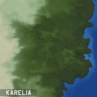
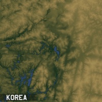
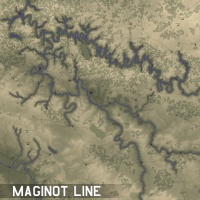
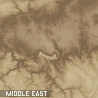
Most of these maps have configurations for all three air game modes (Arcade, Realistic, and Simulator). They are larger than Arcade maps, generally being between 64 km x 64 km and 131 km x 131 km, with a couple of exceptions. All of these maps are based off of real world locations; the level of accuracy varies between maps, but in general they tend to be reasonably accurate to the real world.


Special Air Forces Maps
These maps are do not occur in normal air battles. They are only normally available to play in specific game modes / special events, tutorials, or in user made missions.


Ground Forces Air Maps
These maps are the Air Battles area of their respective Tank Maps. As well as being used in combined arms battles, some are also used as standalone maps in air battles (AB, RB & SB), in these cases the tank battles area forms part of the scenery of the map. Being based off tank maps they are a mixture of historically accurate and fictional locations. Maps tend to be 65 km x 65 km, although some are smaller and some are bigger.
WIP
Subcategories
This category has the following 3 subcategories, out of 3 total.
Pages in category "Maps and missions"
The following 52 pages are in this category, out of 52 total.
